Las Palmas - Cruz de Tejeda. Northeast route.
Las Palmas – Cruz de Tejeda. North-East Route
Have you ever read one of the car routes suggested by us at Proa Rent a Car? Maybe you have already done one of our travel routes with your rental car. In that case, you might have noticed that our routes are quite demanding and ambitious. We believe that those who rent a car being on holiday want to experience the destination in detail. It is easier to skip one sight or two on a route (for convenience or for any other reason) than to start a round trip and end up missing something. So today, we are going to propose another itinerary on Gran Canaria. It is demanding again. Not because of the great distances, but because of the number of stops.
We always try to include an excursion for wine lovers. The reason is easy: Spain is a country with an important wine culture. Doing wine tastings from different regions, is the perfect way to get to know the country and its people.
So let us start our route on Gran Canaria.
On other islands, linear car routes might be better (on Mallorca, for example, because of the star-shaped road network or on Tenerife because of its elongated shape). In Gran Canaria, however, it is ideal to make a round trip in order to have the opportunity to discover the island in all its diversity.
Do you already have a rental car in Gran Canaria ? You could either go to our Hertz / Thrifty counter at Las Palmas airport or to our Dollar office near the airport; or rent it directly in the city of Las Palmas in our Hertz or Thrifty office.
Our northeast route over this Canary Island is approximately 95 km long if you stick to the short version; if you want to enjoy the full route (10km“bonus pack”) it is a 105 km route. We will explain the two variants to you later.
From Las Palmas, we drive on the GC-23. Then we take the GC-3, the GC-4 and the GC-802.
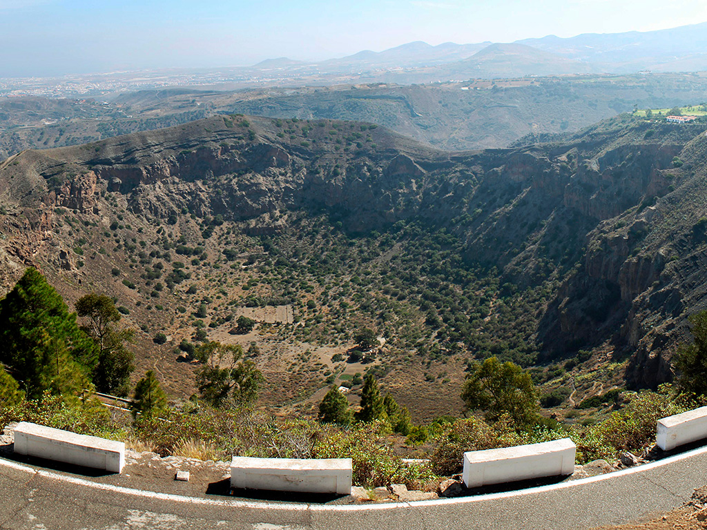
La Caldera de Bandama, a protected landscape.
Whenever possible, we start our routes with a natural landscape. Enjoying the beauty of the place is the best way to begin a journey. It gives us energy. And sometimes, as in this case, you can even catch a first panoramic view of the route. From La Caldera, or more precisely, from the highest point, the "Pico de Bandama”, you will see Las Palmas and two of the places that await us on our trip: La Atalaya and Santa Brígida.
La Caldera is not a real crater. Although it looks like it. There were minor volcanic eruptions here more than 2,000 years ago. The collapse of the cinder cone at the time led to a 200-meter-deep depression in the ground, a kettle of one kilometre in diameter and three kilometres in circumference. Do not miss!
It is surprising to see grapevines growing on the bottom of La Caldera. Magnificent wines have been produced here for a long time now; as in the rest of the community.
The Watchtower of Santa Brígida, long history.
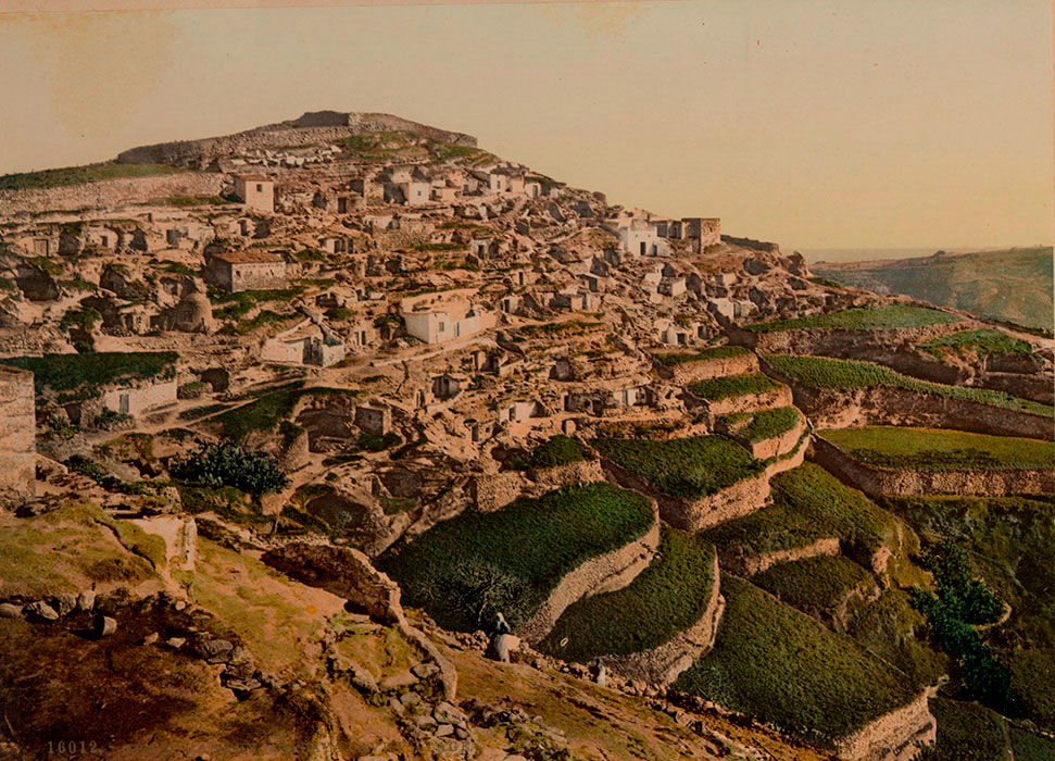
Only three kilometres away from La Caldera, on the same road GC-802, you will arrive to the village of La Atalaya, which stems from an aboriginal settlement. La Atalaya, together with the nearby gorge Las Goteras, forms an area where early pottery is still produced. If you look at the many caves in the rock walls of the gorge and imagine how many residents must have lived here, you can get a vague idea of the ceramic production in the past. Those caves also helped the residents in the past to run for shelter from pirate attacks.
Santa Brígida wine region.
Driving five kilometres further along the GC-80 and GC-15, we get to the city that gives the community its name: Santa Brígida.
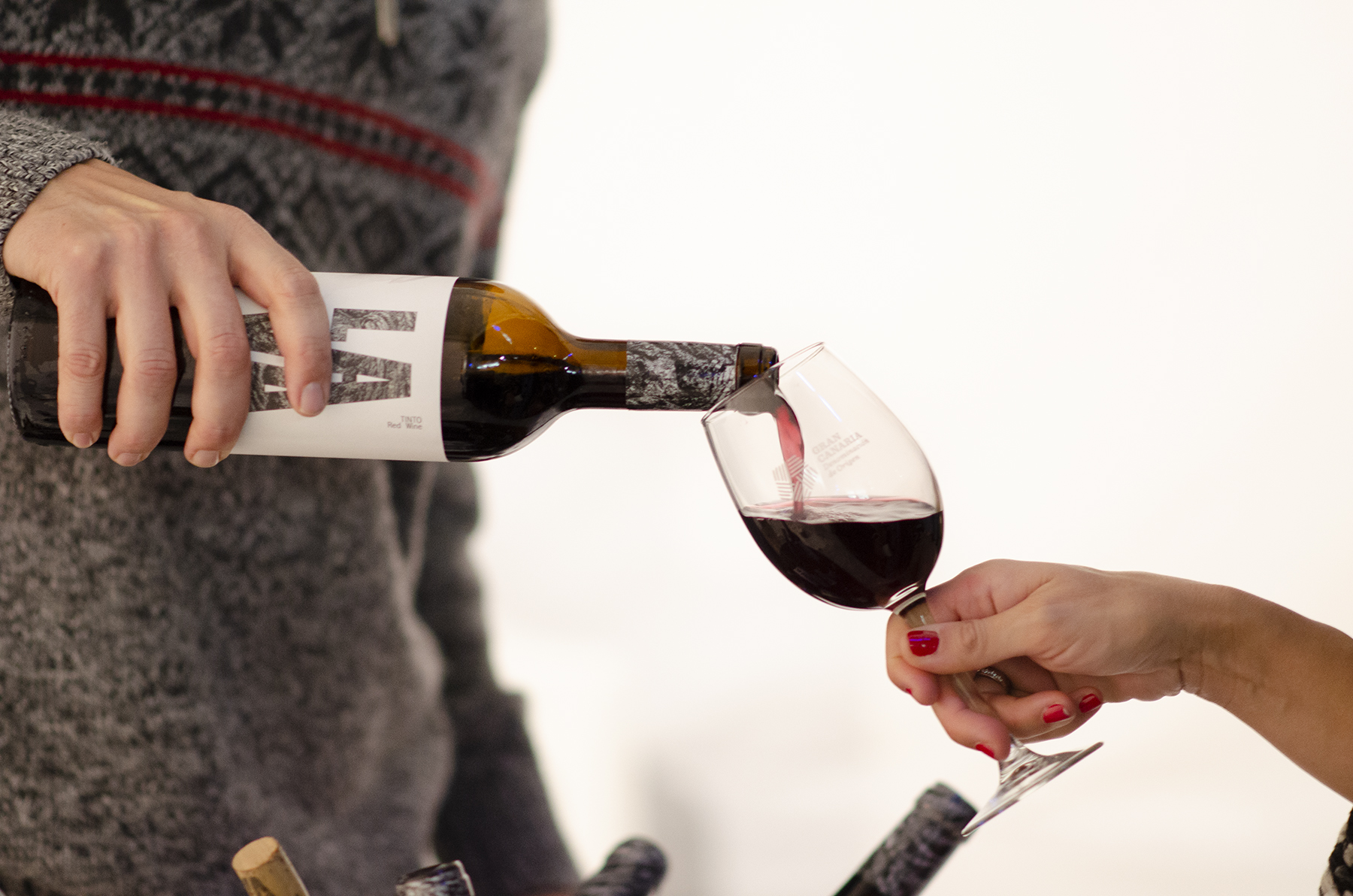
In Santa Brígida you definitely should visit the wine house ("Casa del Vino"). In this historic building, you will have the possibility to taste the wines with D.O. Gran Canaria. In case you still have not had enough, you can combine this visit with a tour through local vineyards and wineries. We cannot integrate this separate wine route into our today’s travel route. If you are interested, it is worth doing this tour in a different moment.
Vega de San Mateo and two viewpoints.
We drive again on the GC-15 for 8 kilometres and come to Vega de San Mateo. This village is ideal for a stroll along the Alameda de Santa Ana followed by a visit to the parish church and to the town hall. An agricultural market (“mercado agrícolo”) takes place at the weekends. The region is known for its good food: there is a diverse gastronomic offer with tasty meat, stews and the famous blanched gofio ("gofio escaldado"), a typical grain side dish. We recommend taking your lunch here.
After lunch, we would like to suggest you a short detour in the route (the “bonus pack” mentioned above): A visit to the viewpoints Mirador Natural de La Cruz and El Montañón. It is only a 10km drive direction southeast to get there. There even exists another panoramic view from the Mirador de Montaña Cabreja, but renovation work is being carried out there according to our current information.
Cruz de Tejeda.
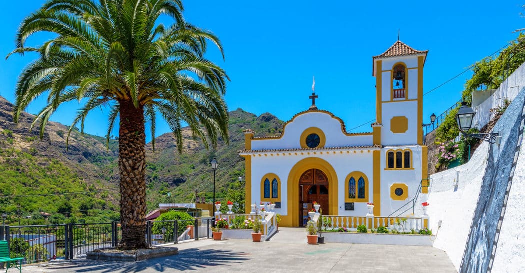
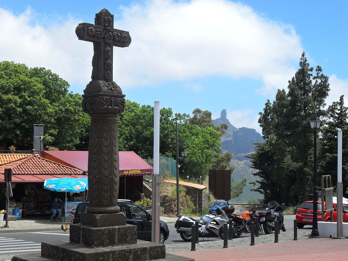
After another 13 km along the GC-15 we reach La Cruz de Tejeda. This mountain pass is a popular destination. The panoramic view from the viewpoint is overwhelming. A hiking trail leads to the geographical centre of the island, the Pico de las Nieves, which is also the highest point of Gran Canaria (Morro de la Agujereada at 1956 meters).
We can now either visit the Pico de las Nieves; the stonewalled covered pits on its slopes give it its name: in the 17th century, those were used to collect snow in winter. The ice obtained this way served for cooling or for making ice cream during the warmer months. It is interesting that this technique was practiced in the same way in distant Mallorca. If you prefer to stay in the shade, you can visit the small market with local products and handicrafts at the Parador Nacional Cruz de Tejeda and take a break at the viewpoint.
Valleseco.
We are now coming to the end of our journey. Our penultimate station is Valleseco. We have to drive 10 km north (GC-230 and GC-21).
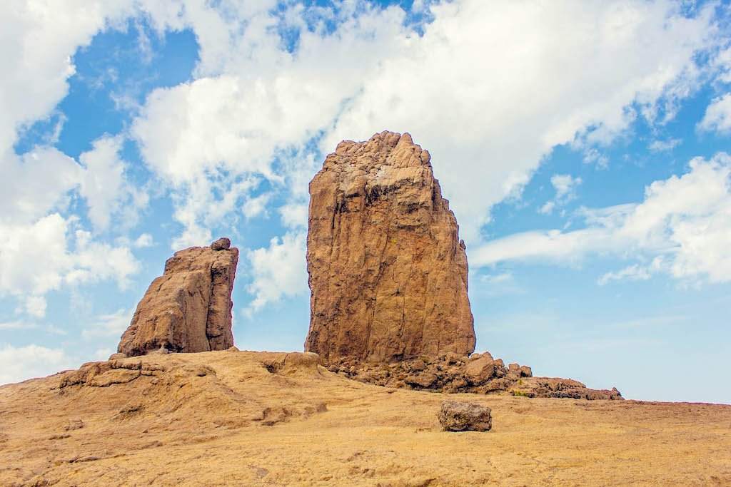
Valleseco is a paradise for hikers with a tremendously large selection of different hiking tours (we could have already done some of them starting from La Cruz de Tejeda, such as the hiking tour to Roque Nublo, an 80-meter high rocky monolith, one of the landmarks of Gran Canarias). If hiking is not your thing (or the schedule does not allow it), we can have a stop at the Ethnographic Museum of the City of Valleseco. The Museum gives information about the aforementioned Gofio. You also have the opportunity to check the tourist offer of the place: The tourist information office is located within the museum. (By the way, the office has received the award“Commitment to Tourist Quality” / “Compromiso de Calidad Turística”).
Teror and Nature Reserves.
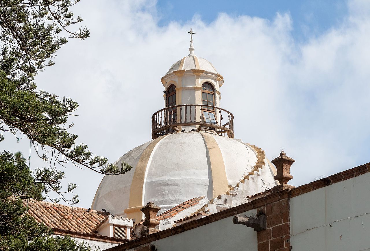
Continuing our island route, we follow the GC-21, and come to Villa Mariana de Teror after an 8 kilometres drive. This is the last stop on our route, and we have two alternatives for you, depending on your interests: If local traditions and customs are yours, you could visit the Basilica de Nuestra Señora del Pino, which is revered here. Alternatively, you could opt for an evening stroll through the nature reserves Finca de Osorio (an area of 200 hectares around the Pico de Osorio, with many small gorges), Caldera de Pino Santo (a crater with a diameter of 500 meters) and Parque Rural de Doramas.
There is a short and comfortable drive back to the capital Las Palmas. Certainly, the today’s route did not rob us too much strength. On the contrary, we hope that you will now feel even more adventurous to experience and enjoy Gran Canaria. Because if you want to get to know this volcanic island even better, there are still many things to do...
This is the reason why you have your rental car. This is the reason why we rent it to you.
Or isn’t it?





Canary Islands

Last routes
Los Rodeos (Airport) - Los Gigantes Cliffs
We make it easy for you. And not only that. Truth be told, the first part of your route on Tenerife is going to be SO easy. And comfortable; without narrow serpentine roads (we will add some later on this route, so we won’t end up bored) It’s up to you whether you want to complete this beautiful route within one day or split it up in two days.
We would like to point out that it’s a challenging route if you drive it within one day.
Nevertheless, if you bring with you the energy and happiness for a longer excursion and if you arrive early in the morning on the island, you will enjoy this trip.
After arrival at Tenerife North Los Rodeos Airport, Rent a car on Tenerife with Hertz or Thrifty, if you haven’t already done so, and enjoy your vacation on the island from the first minute on.
The route has a total distance of approximately 170Km. One way. You then have several options for the return journey to the north of the island.
From the airport, we take the TF-24 road and start our tour.
From Arrecife to Timanfaya National Park. Southwest Route on Lanzarote
An island tour by car is great fun. Compared with the other islands of the Canary Archipelago Lanzarote is not too big and can easily be explored by car. The advantages are obvious: short distances and many possible stations to visit.
Today we would like to propose to you an easy and beautiful round trip by car. There are different points of departure. We can start from Arrecife or from Puerto del Carmen which has a wide range of hotel accommodations for travellers. Another option would be to start from the airport directly after your arrival at Lanzarote. The only requirement is to begin the excursion in the morning; without having to get up particularly early.
Assuming that you already got your Rent a Car in Lanzarte Airport with Hertz, Thrifty or with Dollar, we are glad to see that you are ready to explore and experience Lanzarote.
Our southwest route covers a distance of 80 km. The route is even shorter if you start from Puerto del Carmen or from the airport. However, we depart from Arrecife. From there we take the LZ-2 and then drive onto the LZ-501.
La Palma - Roque de los Muchachos (and the sky)
When visiting La Palma, you will immediately notice that you are entering a green paradise. It does not matter which itinerary you choose, you will witness the incomparable lush vegetation that stands out across the island. Laurel forests overgrow the entire island wherever possible: on slopes, in valleys and gorges.
The forests of La Palma are awesome. You should not only admire them with your eyes, but also experience them olfactorily. Smell them!
Above the island opens up a sky, which, thanks to its clarity, creates optimal conditions for astronomical observation. It is not surprising that Roque de los Muchachos houses the best astrophysical observatory in the northern hemisphere.
La Isla Bonita, the beautiful island. This name is justified. Finally, the world biosphere reserve is located on La Palma.
If you are planning a car route on La Palma, you have several options. The road network is star shaped from the capital. Similar to the road network in Mallorca.
For our today’s route, we decided to propose you a north route, along the LP-1. Our way back to Santa Cruz de La Palma we will then take the northeast highway LP-4. In total, we will run around 150 kilometres. That is not a very long stretch. We do not want to highlight any village specially on this route, telling you that this one is more worth visiting than any other is. Each village has its own charm. It is up to you to decide where to stop, and which places attract you most. Nevertheless, as always, there are many sights on our route, which we will propose to you. There is a lot to discover on La Palma.
So take your Rent a Car La Palma Airport at the Hertz or Thrifty counter. When renting the vehicle, it is worth taking a moment to choose the rental car you feel most comfortable with. We will spend a few hours in it. Then we start our route, and drive on the LP-1.